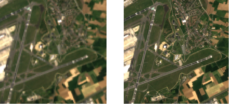
Compute Sentinel-2 Level-2F and Level-2H Products
OpenEO now supports the computation of Sentinel-2 Level-2F and Level-2H products. The harmonization/fusion process includes upscaling Landsat data to match the resolution of Sentinel-2 data. This enhancement opens up new possibilities for remote sensing applications. Learn more
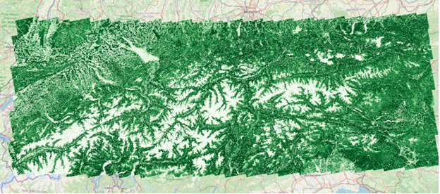
Predict Forest Fractional Canopy Cover
OpenEO Platform can now predict Forest Fractional Canopy Cover using machine learning and high-resolution satellite imagery. This powerful feature allows users to analyze forest cover and monitor changes over time. Explore the details
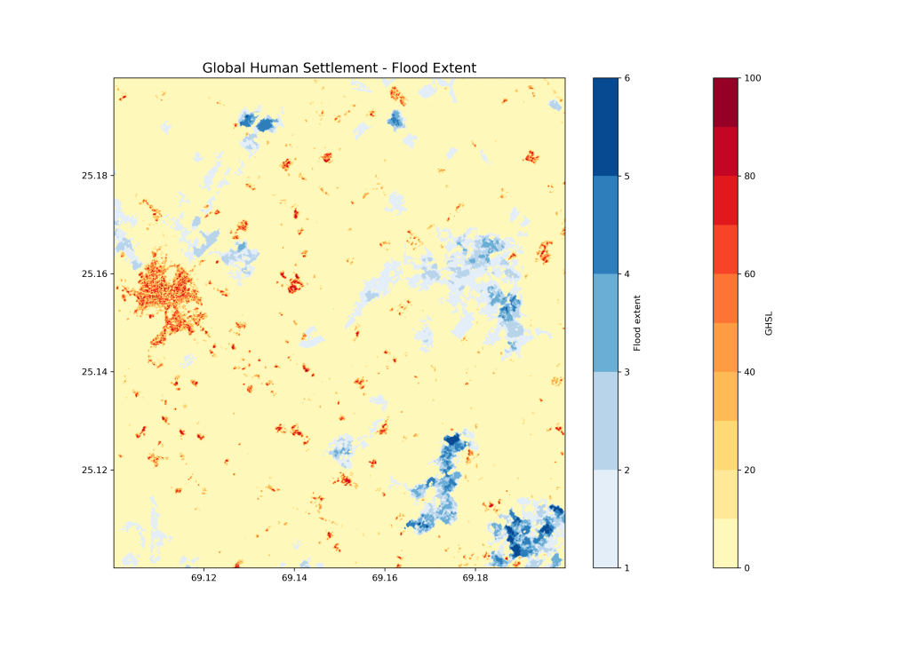
Compute Maximum Flood Extents
OpenEO Platform users can now leverage the Global Flood Monitoring (GFM) service from EU’s Copernicus Emergency Management Service. Maximum flood extents for your area of interest can be easily computed using openEO Platform. For example, check out the flood-affected settlements in Pakistan here.
Stay tuned for more exciting updates from OpenEO Platform!